Henfield and District Anglers' Fishing Pond
Introduction
The photograph on this page of Henfield and District Anglers' Fishing Pond by Simon Carey as part of the Geograph project.
The Geograph project started in 2005 with the aim of publishing, organising and preserving representative images for every square kilometre of Great Britain, Ireland and the Isle of Man.

There are currently over 7.5m images from over 14,400 individuals and you can help contribute to the project by visiting https://www.geograph.org.uk
Henfield and District Anglers' Fishing Pond
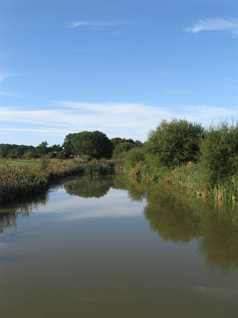
Image: © Simon Carey Taken: 18 Sep 2010
Lying beside Sake Ride Lane which lies to the right. There are three or four along here.
Images are licensed for reuse under creativecommons.org/licenses/by-sa/2.0
Image Location
Latitude
50.954191
Longitude
-0.245924