Corrugated iron hall.
Introduction
The photograph on this page of Corrugated iron hall. by Peter Evans as part of the Geograph project.
The Geograph project started in 2005 with the aim of publishing, organising and preserving representative images for every square kilometre of Great Britain, Ireland and the Isle of Man.

There are currently over 7.5m images from over 14,400 individuals and you can help contribute to the project by visiting https://www.geograph.org.uk
Corrugated iron hall.
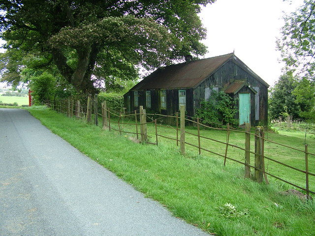
Image: © Peter Evans Taken: 19 Sep 2010
Bryngwyn near Newchurch - an old corrugated iron hall opposite St.Michaels Church. Disused chapel or village hall ?.
Images are licensed for reuse under creativecommons.org/licenses/by-sa/2.0
Image Location


Leaflet Map data © OpenStreetMap
Latitude
52.137347
Longitude
-3.188861