View to Lea Bailey Inclosure
Introduction
The photograph on this page of View to Lea Bailey Inclosure by Pauline E as part of the Geograph project.
The Geograph project started in 2005 with the aim of publishing, organising and preserving representative images for every square kilometre of Great Britain, Ireland and the Isle of Man.

There are currently over 7.5m images from over 14,400 individuals and you can help contribute to the project by visiting https://www.geograph.org.uk
View to Lea Bailey Inclosure
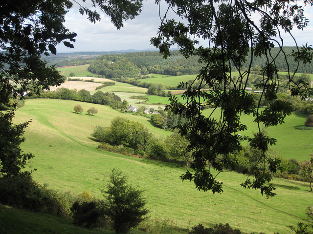
Image: © Pauline E Taken: 15 Sep 2010
We are heading towards the village of Hope Mansell along this scenic valley with the wooded slopes of Lea Bailey Inclosure on the far side.
Images are licensed for reuse under creativecommons.org/licenses/by-sa/2.0
Image Location


Leaflet Map data © OpenStreetMap
Latitude
51.868047
Longitude
-2.543858