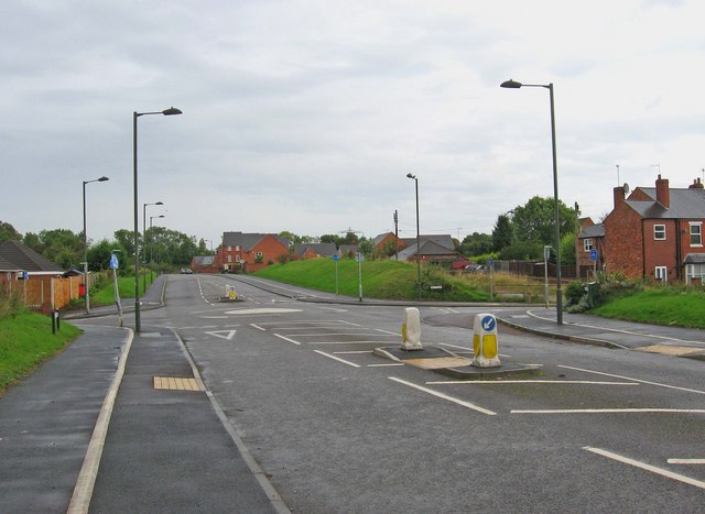
Mini-roundabout, Millfields Drive
Introduction
The photograph on this page of Mini-roundabout, Millfields Drive by P L Chadwick as part of the Geograph project.
The Geograph project started in 2005 with the aim of publishing, organising and preserving representative images for every square kilometre of Great Britain, Ireland and the Isle of Man.
There are currently over 7.5m images from over 14,400 individuals and you can help contribute to the project by visiting https://www.geograph.org.uk

Image: © P L Chadwick Taken: 19 Sep 2010
The mini-roundabout is where Millfields Drive meets Mill Road, which is the road coming in to the roundabout, on the left and right sides of the picture. Millfields Drive is built on part of the route of the former branch railway line to the now demolished power station by the River Severn. Both were part of the town's history, and there are a few reminders left. Image At the present time, the sole purpose of Millfields Drive, is to act as an access road to nearby residential areas. In happier times, before the current economic crisis, it was seen as potentially part of a relief road for the town. For various reasons, including the lack of money for a second crossing of the River Severn, it was regarded by many people, as a bit of a pie-in-the-sky scheme. Now it seems highly unlikely that it will be proceeded with for decades, if ever. Image

