Pipeline over River Browney at Stonebridge
Introduction
The photograph on this page of Pipeline over River Browney at Stonebridge by Trevor Littlewood as part of the Geograph project.
The Geograph project started in 2005 with the aim of publishing, organising and preserving representative images for every square kilometre of Great Britain, Ireland and the Isle of Man.

There are currently over 7.5m images from over 14,400 individuals and you can help contribute to the project by visiting https://www.geograph.org.uk
Pipeline over River Browney at Stonebridge
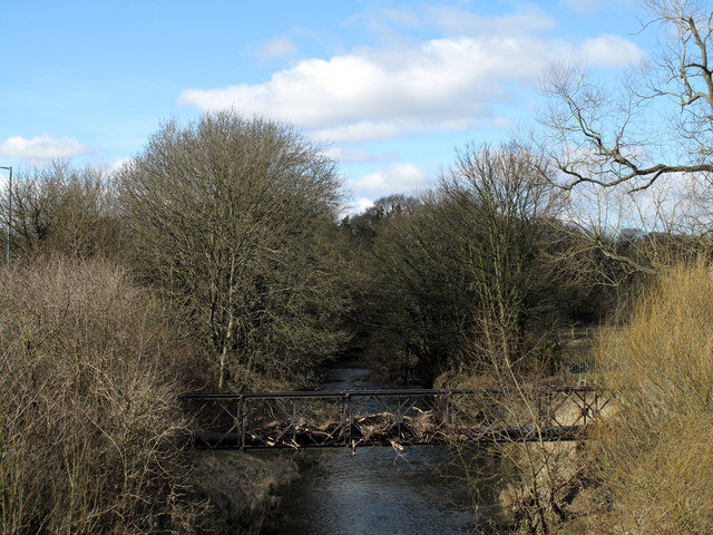
Image: © Trevor Littlewood Taken: 19 Sep 2010
Stonebridge is a location on the outskirts of Durham City where there's a stone bridge and a pub of the same name. This view is from the A690 at a roundabout at Stonebridge, along the River Browney showing a pipeline crossing the river. The accumulated debris at the caging of the pipeline can surely only have been deposited there by the river being in flood; it would have been a remarkable sight!
Images are licensed for reuse under creativecommons.org/licenses/by-sa/2.0
Image Location
Latitude
54.767772
Longitude
-1.6013