Furze Field
Introduction
The photograph on this page of Furze Field by Simon Carey as part of the Geograph project.
The Geograph project started in 2005 with the aim of publishing, organising and preserving representative images for every square kilometre of Great Britain, Ireland and the Isle of Man.

There are currently over 7.5m images from over 14,400 individuals and you can help contribute to the project by visiting https://www.geograph.org.uk
Furze Field
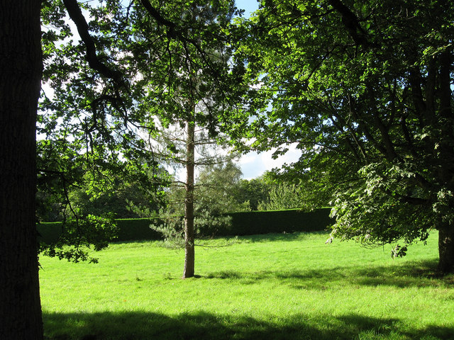
Image: © Simon Carey Taken: 12 Sep 2010
The name of the field according to the 1840 tithe map. The former field has been divided into two by a large hedge which now contains the grounds of Furzefield Farm.
Images are licensed for reuse under creativecommons.org/licenses/by-sa/2.0
Image Location
Latitude
50.962305
Longitude
-0.25929