Mount Bonny
Introduction
The photograph on this page of Mount Bonny by Robert Murray as part of the Geograph project.
The Geograph project started in 2005 with the aim of publishing, organising and preserving representative images for every square kilometre of Great Britain, Ireland and the Isle of Man.

There are currently over 7.5m images from over 14,400 individuals and you can help contribute to the project by visiting https://www.geograph.org.uk
Mount Bonny
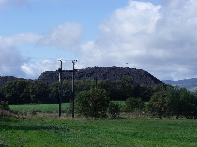
Image: © Robert Murray Taken: 18 Sep 2010
For the want of a better name. This bing is the result of waste from the adjacent refractory business. Yes that is a Saltire fluttering in the breeze atop the heap.
Images are licensed for reuse under creativecommons.org/licenses/by-sa/2.0
Image Location
Latitude
55.992443
Longitude
-3.870837