Ditching and Pollarding
Introduction
The photograph on this page of Ditching and Pollarding by Des Blenkinsopp as part of the Geograph project.
The Geograph project started in 2005 with the aim of publishing, organising and preserving representative images for every square kilometre of Great Britain, Ireland and the Isle of Man.

There are currently over 7.5m images from over 14,400 individuals and you can help contribute to the project by visiting https://www.geograph.org.uk
Ditching and Pollarding
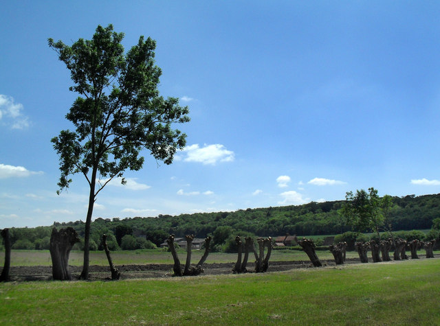
Image: © Des Blenkinsopp Taken: 27 May 2010
Several ditches cross the riverside meadows along here. Some fairly heavy maintenance has been going on.
Images are licensed for reuse under creativecommons.org/licenses/by-sa/2.0
Image Location
Latitude
51.545682
Longitude
-0.852633