Stile and muddy path near Birchinley Farm
Introduction
The photograph on this page of Stile and muddy path near Birchinley Farm by Bill Boaden as part of the Geograph project.
The Geograph project started in 2005 with the aim of publishing, organising and preserving representative images for every square kilometre of Great Britain, Ireland and the Isle of Man.

There are currently over 7.5m images from over 14,400 individuals and you can help contribute to the project by visiting https://www.geograph.org.uk
Stile and muddy path near Birchinley Farm
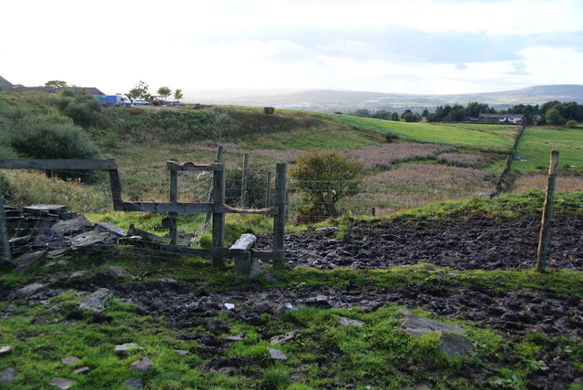
Image: © Bill Boaden Taken: 16 Sep 2010
The surface is churned up by horses, to which the farm is now devoted.
Images are licensed for reuse under creativecommons.org/licenses/by-sa/2.0
Image Location
Latitude
53.620425
Longitude
-2.104125