2010 : Coronation Avenue and view, Keynsham
Introduction
The photograph on this page of 2010 : Coronation Avenue and view, Keynsham by Maurice Pullin as part of the Geograph project.
The Geograph project started in 2005 with the aim of publishing, organising and preserving representative images for every square kilometre of Great Britain, Ireland and the Isle of Man.

There are currently over 7.5m images from over 14,400 individuals and you can help contribute to the project by visiting https://www.geograph.org.uk
2010 : Coronation Avenue and view, Keynsham
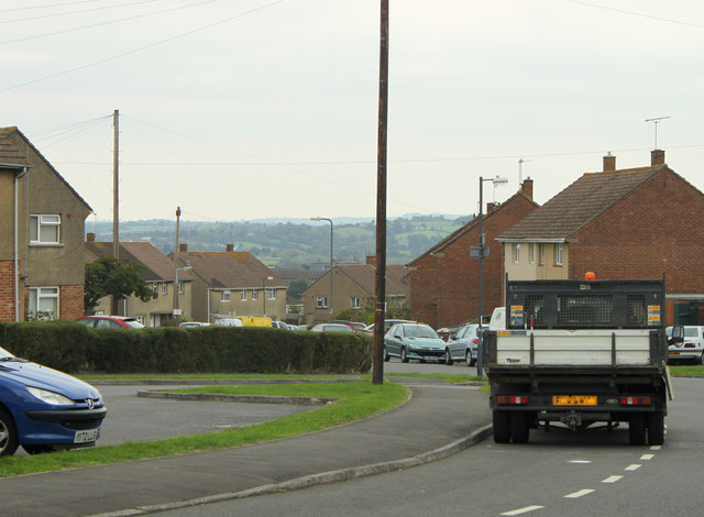
Image: © Maurice Pullin Taken: 6 Sep 2010
Urban "development" south of Keynsham. The council lorry waits, enjoying the view east of Bristol perhaps.
Images are licensed for reuse under creativecommons.org/licenses/by-sa/2.0
Image Location
Latitude
51.40804
Longitude
-2.506031