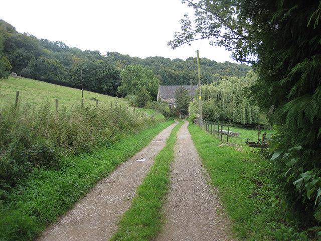
Approaching Hom Grove Farm
Introduction
The photograph on this page of Approaching Hom Grove Farm by Pauline E as part of the Geograph project.
The Geograph project started in 2005 with the aim of publishing, organising and preserving representative images for every square kilometre of Great Britain, Ireland and the Isle of Man.
There are currently over 7.5m images from over 14,400 individuals and you can help contribute to the project by visiting https://www.geograph.org.uk

Image: © Pauline E Taken: 15 Sep 2010
The footpath heads SW. At the farm buildings you can either pass through a gate, then swing north towards Hope Mansell, or take a track off to the left then find an unmarked footpath which climbs steeply through Hom Wood and up to Euroclydon on the summit, crossing the trackbed of the dismantled railway.

