Sheep pastures near Hom Grove Farm
Introduction
The photograph on this page of Sheep pastures near Hom Grove Farm by Pauline E as part of the Geograph project.
The Geograph project started in 2005 with the aim of publishing, organising and preserving representative images for every square kilometre of Great Britain, Ireland and the Isle of Man.

There are currently over 7.5m images from over 14,400 individuals and you can help contribute to the project by visiting https://www.geograph.org.uk
Sheep pastures near Hom Grove Farm
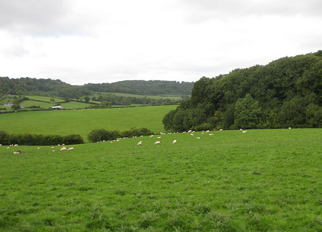
Image: © Pauline E Taken: 15 Sep 2010
The patch of woodland to the right is the southern tip of Lea Bailey Inclosure.
Images are licensed for reuse under creativecommons.org/licenses/by-sa/2.0
Image Location
Latitude
51.867508
Longitude
-2.523954