Public footpath to Hom Grove Farm
Introduction
The photograph on this page of Public footpath to Hom Grove Farm by Pauline E as part of the Geograph project.
The Geograph project started in 2005 with the aim of publishing, organising and preserving representative images for every square kilometre of Great Britain, Ireland and the Isle of Man.

There are currently over 7.5m images from over 14,400 individuals and you can help contribute to the project by visiting https://www.geograph.org.uk
Public footpath to Hom Grove Farm
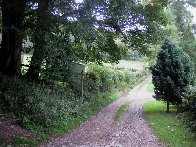
Image: © Pauline E Taken: 15 Sep 2010
The track runs close to the dismantled railway line known as Euroclydon/Hawthorns/Puddlebrook, depending on which source of information is used. The line passes through Hom Wood on a steep hillside which is visible on the left of this picture. The Herefordshire/Gloucestershire county border also passes through this woodland.
Images are licensed for reuse under creativecommons.org/licenses/by-sa/2.0
Image Location
Latitude
51.868951
Longitude
-2.521008