Forfar Bowling Club
Introduction
The photograph on this page of Forfar Bowling Club by Anne Burgess as part of the Geograph project.
The Geograph project started in 2005 with the aim of publishing, organising and preserving representative images for every square kilometre of Great Britain, Ireland and the Isle of Man.

There are currently over 7.5m images from over 14,400 individuals and you can help contribute to the project by visiting https://www.geograph.org.uk
Forfar Bowling Club
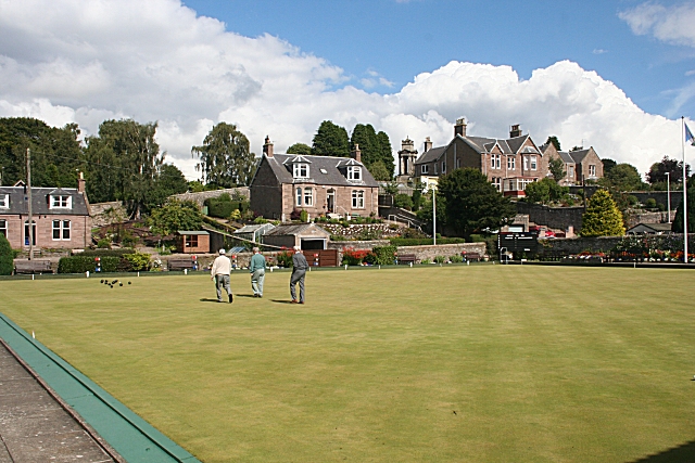
Image: © Anne Burgess Taken: 12 Aug 2010
This beautifully manicured bowling green is tucked away in Melbourne Place off Lour Road. The houses at the far side of it are on Rosebank Lane.
Images are licensed for reuse under creativecommons.org/licenses/by-sa/2.0
Image Location
Latitude
56.641653
Longitude
-2.883051