Road Junction on the Plateau
Introduction
The photograph on this page of Road Junction on the Plateau by Tony Atkin as part of the Geograph project.
The Geograph project started in 2005 with the aim of publishing, organising and preserving representative images for every square kilometre of Great Britain, Ireland and the Isle of Man.

There are currently over 7.5m images from over 14,400 individuals and you can help contribute to the project by visiting https://www.geograph.org.uk
Road Junction on the Plateau
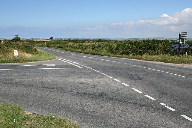
Image: © Tony Atkin Taken: 22 Jul 2006
The view from here almost makes this part of Cornwall look flat, but it is far from it. Like much of Cornwall it is a plateau cut through by valleys, lots of them. Most old roads tend to stay on the drier plateau land where they can, and where they have to cut through a valley go straight down and up again at a steep gradient. These roads were originally meant to be travelled on foot or by pack animals. More recent roads tend to cross valleys diagonally as they were designed for wheeled traffic which need less steep gradients.
Images are licensed for reuse under creativecommons.org/licenses/by-sa/2.0
Image Location
Latitude
50.495163
Longitude
-4.946745