The Essex Way 65: Underpass
Introduction
The photograph on this page of The Essex Way 65: Underpass by Trevor Harris as part of the Geograph project.
The Geograph project started in 2005 with the aim of publishing, organising and preserving representative images for every square kilometre of Great Britain, Ireland and the Isle of Man.

There are currently over 7.5m images from over 14,400 individuals and you can help contribute to the project by visiting https://www.geograph.org.uk
The Essex Way 65: Underpass
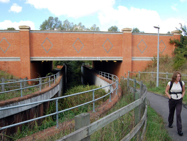
Image: © Trevor Harris Taken: 12 Sep 2010
The footpath and the River Ter pass under the A131 south of Great Leighs.
Images are licensed for reuse under creativecommons.org/licenses/by-sa/2.0
Image Location
Latitude
51.82104
Longitude
0.501322