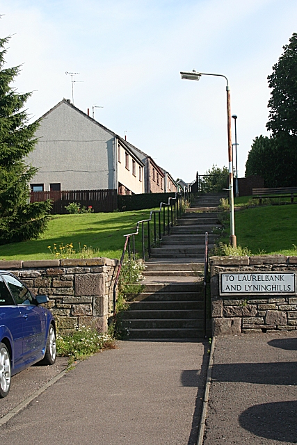
Steps to Lyninghills
Introduction
The photograph on this page of Steps to Lyninghills by Anne Burgess as part of the Geograph project.
The Geograph project started in 2005 with the aim of publishing, organising and preserving representative images for every square kilometre of Great Britain, Ireland and the Isle of Man.
There are currently over 7.5m images from over 14,400 individuals and you can help contribute to the project by visiting https://www.geograph.org.uk

Image: © Anne Burgess Taken: 13 Aug 2010
The steps offer direct pedestrian access from the housing estates of Laurelbank and Lyninghills to the West High Street. As children, in winter, we used to sledge down the grassy slope, which in those days was part of a field and much longer. The important things was to get through the gate in the wall; failure to get through the gap tended to result in very sore heads or feet, depending on how you used your sledge.

