Mountsfield Park
Introduction
The photograph on this page of Mountsfield Park by Marathon as part of the Geograph project.
The Geograph project started in 2005 with the aim of publishing, organising and preserving representative images for every square kilometre of Great Britain, Ireland and the Isle of Man.

There are currently over 7.5m images from over 14,400 individuals and you can help contribute to the project by visiting https://www.geograph.org.uk
Mountsfield Park
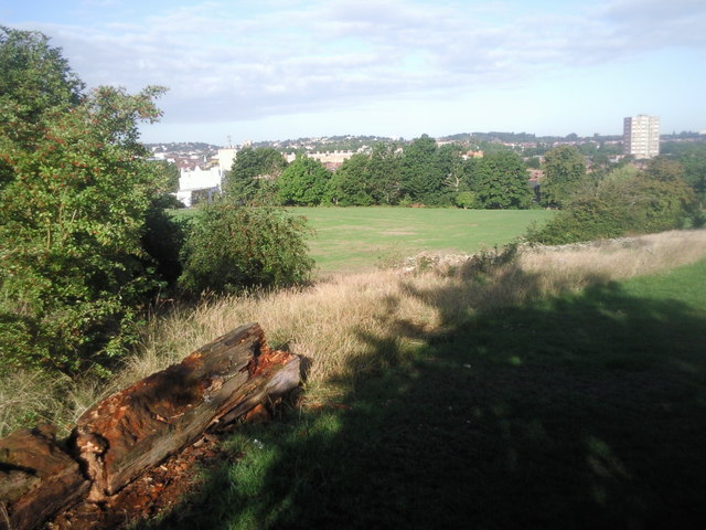
Image: © Marathon Taken: 24 Aug 2010
Mountsfield Park is higher along its eastern side and then drops down to the west side. This gives fine views to the west as here. The wooded hill to the left of the tower block is One Tree Hill at Honor Oak.
Images are licensed for reuse under creativecommons.org/licenses/by-sa/2.0
Image Location
Latitude
51.446831
Longitude
-0.010238