Stakers Farmhouse
Introduction
The photograph on this page of Stakers Farmhouse by Robin Webster as part of the Geograph project.
The Geograph project started in 2005 with the aim of publishing, organising and preserving representative images for every square kilometre of Great Britain, Ireland and the Isle of Man.

There are currently over 7.5m images from over 14,400 individuals and you can help contribute to the project by visiting https://www.geograph.org.uk
Stakers Farmhouse
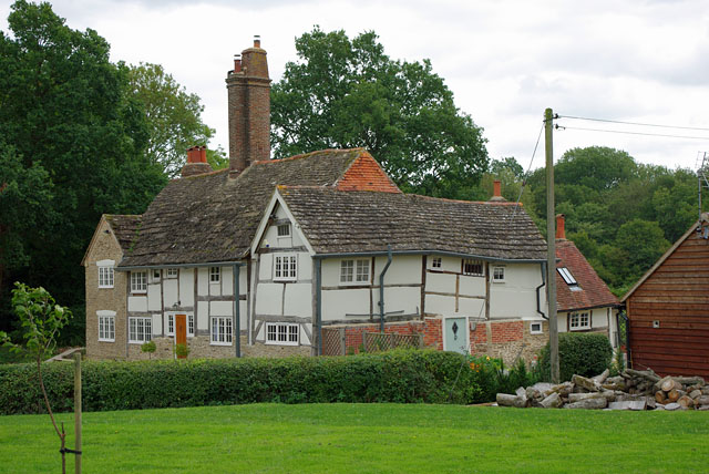
Image: © Robin Webster Taken: 15 Sep 2010
A verticality adjustment of the photograph was considered, but abandoned as very hard to judge! The house is now fenced off from the farm buildings, with separate drives to each from completely different directions.
Images are licensed for reuse under creativecommons.org/licenses/by-sa/2.0
Image Location
Latitude
51.023155
Longitude
-0.337291