Shawbost Village
Introduction
The photograph on this page of Shawbost Village by Donald Lawson as part of the Geograph project.
The Geograph project started in 2005 with the aim of publishing, organising and preserving representative images for every square kilometre of Great Britain, Ireland and the Isle of Man.

There are currently over 7.5m images from over 14,400 individuals and you can help contribute to the project by visiting https://www.geograph.org.uk
Shawbost Village
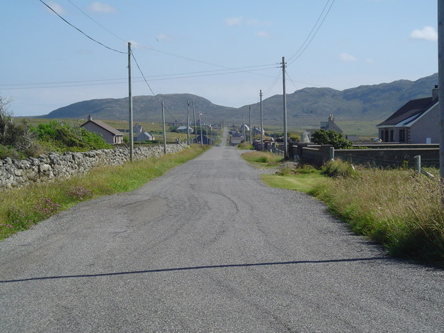
Image: © Donald Lawson Taken: 22 Jul 2006
This photo shows the south branch of Shawbost extending out into the moor.
Images are licensed for reuse under creativecommons.org/licenses/by-sa/2.0
Image Location


Leaflet Map data © OpenStreetMap
Latitude
58.319606
Longitude
-6.676003