Brookland Roundabout
Introduction
The photograph on this page of Brookland Roundabout by David Anstiss as part of the Geograph project.
The Geograph project started in 2005 with the aim of publishing, organising and preserving representative images for every square kilometre of Great Britain, Ireland and the Isle of Man.

There are currently over 7.5m images from over 14,400 individuals and you can help contribute to the project by visiting https://www.geograph.org.uk
Brookland Roundabout
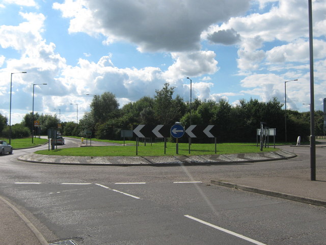
Image: © David Anstiss Taken: 12 Sep 2010
The A259 Straight Lane from Brenzett, heads straight to become Guldeford Lane leading towards Rye. Brookland High Street is on the left, heading into Brookland. On the right is Rectory Lane (unseen), leading to Mislesham, and Rye Road leading towards Salters Bridge.
Images are licensed for reuse under creativecommons.org/licenses/by-sa/2.0
Image Location
Latitude
50.998405
Longitude
0.832105