Pitermo
Introduction
The photograph on this page of Pitermo by Anne Burgess as part of the Geograph project.
The Geograph project started in 2005 with the aim of publishing, organising and preserving representative images for every square kilometre of Great Britain, Ireland and the Isle of Man.

There are currently over 7.5m images from over 14,400 individuals and you can help contribute to the project by visiting https://www.geograph.org.uk
Pitermo
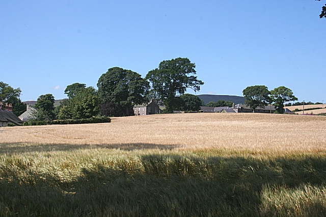
Image: © Anne Burgess Taken: 15 Aug 2010
The houses and farm buildings at Pitermo are partly hidden by the rising ground in this view from the nearby road junction.
Images are licensed for reuse under creativecommons.org/licenses/by-sa/2.0
Image Location
Latitude
56.515424
Longitude
-3.137209