Shady Track
Introduction
The photograph on this page of Shady Track by Anne Burgess as part of the Geograph project.
The Geograph project started in 2005 with the aim of publishing, organising and preserving representative images for every square kilometre of Great Britain, Ireland and the Isle of Man.

There are currently over 7.5m images from over 14,400 individuals and you can help contribute to the project by visiting https://www.geograph.org.uk
Shady Track
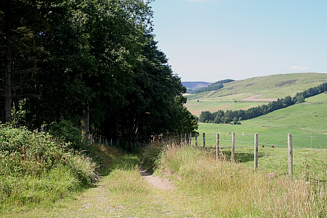
Image: © Anne Burgess Taken: 15 Aug 2010
The shade here was very tempting on a hot summer day. The track just leads down to a field entrance.
Images are licensed for reuse under creativecommons.org/licenses/by-sa/2.0
Image Location
Latitude
56.514466
Longitude
-3.114104