Auchterhouse Parish Kirk
Introduction
The photograph on this page of Auchterhouse Parish Kirk by Anne Burgess as part of the Geograph project.
The Geograph project started in 2005 with the aim of publishing, organising and preserving representative images for every square kilometre of Great Britain, Ireland and the Isle of Man.

There are currently over 7.5m images from over 14,400 individuals and you can help contribute to the project by visiting https://www.geograph.org.uk
Auchterhouse Parish Kirk
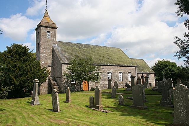
Image: © Anne Burgess Taken: 15 Aug 2010
Dedicated to St Mary, the kirk was rebuilt in 1775, incorporating parts of older buildings. It was recast in 1910 by James W Mackison. For full details see http://www.historic-scotland.gov.uk/index/heritage/historicandlistedbuildings/listedbuildingsresults.htm
Images are licensed for reuse under creativecommons.org/licenses/by-sa/2.0
Image Location
Latitude
56.530387
Longitude
-3.071162