Riverside walk along the Soar
Introduction
The photograph on this page of Riverside walk along the Soar by David P Howard as part of the Geograph project.
The Geograph project started in 2005 with the aim of publishing, organising and preserving representative images for every square kilometre of Great Britain, Ireland and the Isle of Man.

There are currently over 7.5m images from over 14,400 individuals and you can help contribute to the project by visiting https://www.geograph.org.uk
Riverside walk along the Soar
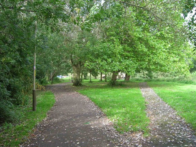
Image: © David P Howard Taken: 14 Sep 2010
Looking NE up the footpath which follows alongside the River Soar. The river is navigable at this point and forms part of the Grand Union Canal.
Images are licensed for reuse under creativecommons.org/licenses/by-sa/2.0
Image Location
Latitude
52.659321
Longitude
-1.129154