Farm near Balkemback
Introduction
The photograph on this page of Farm near Balkemback by Anne Burgess as part of the Geograph project.
The Geograph project started in 2005 with the aim of publishing, organising and preserving representative images for every square kilometre of Great Britain, Ireland and the Isle of Man.

There are currently over 7.5m images from over 14,400 individuals and you can help contribute to the project by visiting https://www.geograph.org.uk
Farm near Balkemback
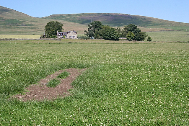
Image: © Anne Burgess Taken: 15 Aug 2010
This farm is not named on either the 1:50,000 or the 1:25,000 map. In the distance is Gallow Hill, with the eastern slope of Craigowl on the left.
Images are licensed for reuse under creativecommons.org/licenses/by-sa/2.0
Image Location


Leaflet Map data © OpenStreetMap
Latitude
56.534392
Longitude
-3.000221