The route to and from Richmond and London
Introduction
The photograph on this page of The route to and from Richmond and London by Christine Johnstone as part of the Geograph project.
The Geograph project started in 2005 with the aim of publishing, organising and preserving representative images for every square kilometre of Great Britain, Ireland and the Isle of Man.

There are currently over 7.5m images from over 14,400 individuals and you can help contribute to the project by visiting https://www.geograph.org.uk
The route to and from Richmond and London
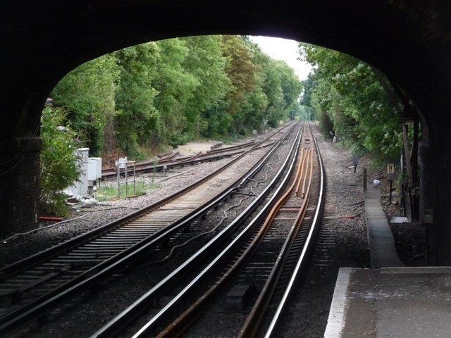
Image: © Christine Johnstone Taken: 20 Aug 2010
Lines north-east of St Margarets station, passing under St Margarets Road bridge.
Images are licensed for reuse under creativecommons.org/licenses/by-sa/2.0
Image Location


Leaflet Map data © OpenStreetMap
Latitude
51.455365
Longitude
-0.319908