Kendal Way, Rainham
Introduction
The photograph on this page of Kendal Way, Rainham by Chris Whippet as part of the Geograph project.
The Geograph project started in 2005 with the aim of publishing, organising and preserving representative images for every square kilometre of Great Britain, Ireland and the Isle of Man.

There are currently over 7.5m images from over 14,400 individuals and you can help contribute to the project by visiting https://www.geograph.org.uk
Kendal Way, Rainham
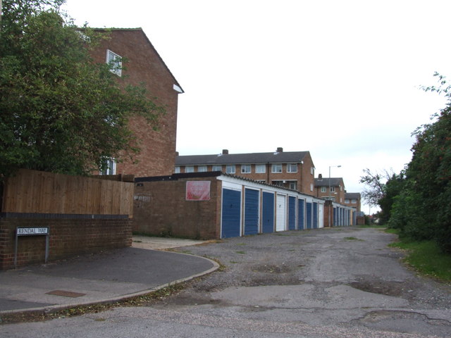
Image: © Chris Whippet Taken: 14 Sep 2010
Before the construction of the flats on the left, Kendal Way was home to a row of prefabs.
Images are licensed for reuse under creativecommons.org/licenses/by-sa/2.0
Image Location
Latitude
51.361709
Longitude
0.594296