Stoneleigh Park
Introduction
The photograph on this page of Stoneleigh Park by Nigel Mykura as part of the Geograph project.
The Geograph project started in 2005 with the aim of publishing, organising and preserving representative images for every square kilometre of Great Britain, Ireland and the Isle of Man.

There are currently over 7.5m images from over 14,400 individuals and you can help contribute to the project by visiting https://www.geograph.org.uk
Stoneleigh Park
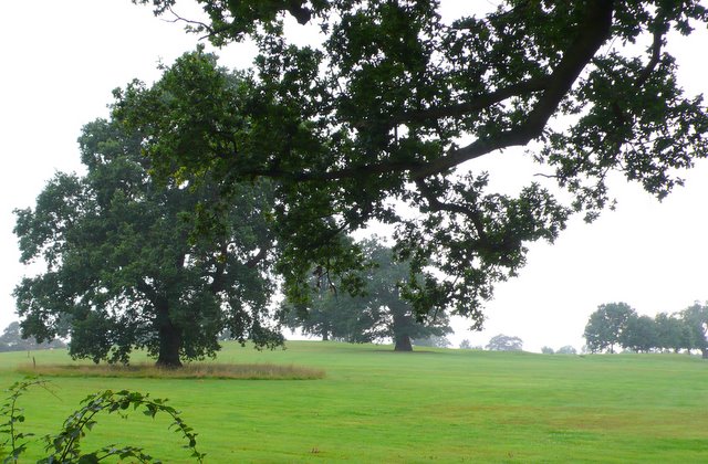
Image: © Nigel Mykura Taken: 18 Aug 2010
View south west across the park from just south of Tantara Lodge close to the minor road from Stoneleigh village south to Cubbington.
Images are licensed for reuse under creativecommons.org/licenses/by-sa/2.0
Image Location
Latitude
52.344018
Longitude
-1.497642