2010 : B3098 between Easterton and Market Lavington
Introduction
The photograph on this page of 2010 : B3098 between Easterton and Market Lavington by Maurice Pullin as part of the Geograph project.
The Geograph project started in 2005 with the aim of publishing, organising and preserving representative images for every square kilometre of Great Britain, Ireland and the Isle of Man.

There are currently over 7.5m images from over 14,400 individuals and you can help contribute to the project by visiting https://www.geograph.org.uk
2010 : B3098 between Easterton and Market Lavington
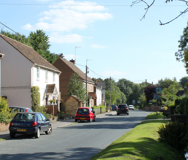
Image: © Maurice Pullin Taken: 31 Aug 2010
Heading south and west to Littleton Panell then on to Westbury. Not sure where Easterton ends and Market Lavington begins, think it is at the corner as far as you can see. Could ask at the Royal Oak, their sign is on the right.
Images are licensed for reuse under creativecommons.org/licenses/by-sa/2.0
Image Location


Leaflet Map data © OpenStreetMap
Latitude
51.292508
Longitude
-1.971268