Mid Devon : Hone Hill & Walkers
Introduction
The photograph on this page of Mid Devon : Hone Hill & Walkers by Lewis Clarke as part of the Geograph project.
The Geograph project started in 2005 with the aim of publishing, organising and preserving representative images for every square kilometre of Great Britain, Ireland and the Isle of Man.

There are currently over 7.5m images from over 14,400 individuals and you can help contribute to the project by visiting https://www.geograph.org.uk
Mid Devon : Hone Hill & Walkers
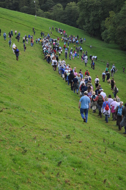
Image: © Lewis Clarke Taken: 11 Sep 2010
The walk heads out onto rough terrain here and until it reaches Norwood Common. http://www.tivertonpeople.co.uk/news/Hundreds-perambulate-town-leat-historic-day/story-7101998-detail/story.html
Images are licensed for reuse under creativecommons.org/licenses/by-sa/2.0
Image Location


Leaflet Map data © OpenStreetMap
Latitude
50.938092
Longitude
-3.472408