Hillside of Prieston
Introduction
The photograph on this page of Hillside of Prieston by Anne Burgess as part of the Geograph project.
The Geograph project started in 2005 with the aim of publishing, organising and preserving representative images for every square kilometre of Great Britain, Ireland and the Isle of Man.

There are currently over 7.5m images from over 14,400 individuals and you can help contribute to the project by visiting https://www.geograph.org.uk
Hillside of Prieston
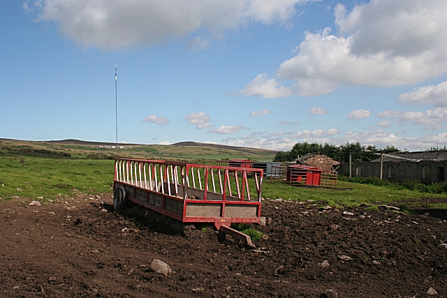
Image: © Anne Burgess Taken: 15 Aug 2010
Various items of agricultural equipment and machinery stand behind the disused military buildings at Hillside of Prieston.
Images are licensed for reuse under creativecommons.org/licenses/by-sa/2.0
Image Location
Latitude
56.544589
Longitude
-2.994635