Tiverton : Castle Street
Introduction
The photograph on this page of Tiverton : Castle Street by Lewis Clarke as part of the Geograph project.
The Geograph project started in 2005 with the aim of publishing, organising and preserving representative images for every square kilometre of Great Britain, Ireland and the Isle of Man.

There are currently over 7.5m images from over 14,400 individuals and you can help contribute to the project by visiting https://www.geograph.org.uk
Tiverton : Castle Street
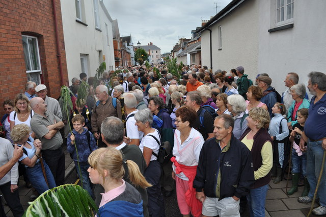
Image: © Lewis Clarke Taken: 11 Sep 2010
Around 600 people walking along the leat in a tradition carried out once every seven years. http://www.tivertonpeople.co.uk/news/Hundreds-perambulate-town-leat-historic-day/story-7101998-detail/story.html
Images are licensed for reuse under creativecommons.org/licenses/by-sa/2.0
Image Location
Latitude
50.906275
Longitude
-3.486622