The River Leven: a skimmer
Introduction
The photograph on this page of The River Leven: a skimmer by Lairich Rig as part of the Geograph project.
The Geograph project started in 2005 with the aim of publishing, organising and preserving representative images for every square kilometre of Great Britain, Ireland and the Isle of Man.

There are currently over 7.5m images from over 14,400 individuals and you can help contribute to the project by visiting https://www.geograph.org.uk
The River Leven: a skimmer
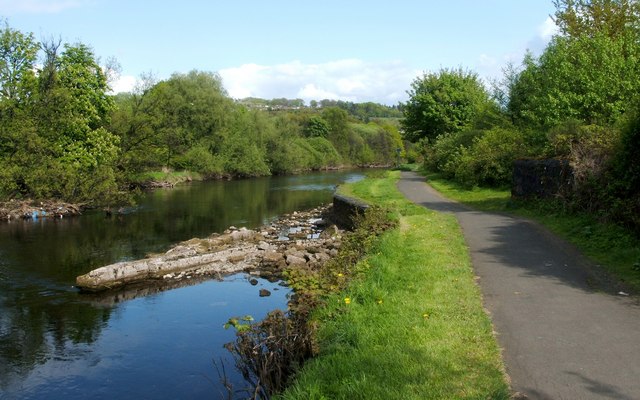
Image: © Lairich Rig Taken: 17 May 2010
For the main description, and for a different view of this structure, which is only exposed when the water level is low, see Image It directs water into a lade ("Ritchie's Lade" — see Image) which served the Cordale print works. For the corresponding outlets, see Image The footpath on the right is also part of a cycle route (NCN7).
Images are licensed for reuse under creativecommons.org/licenses/by-sa/2.0
Image Location
Latitude
55.975717
Longitude
-4.578304