Viking Coastal Trail near Margate Lido
Introduction
The photograph on this page of Viking Coastal Trail near Margate Lido by David Anstiss as part of the Geograph project.
The Geograph project started in 2005 with the aim of publishing, organising and preserving representative images for every square kilometre of Great Britain, Ireland and the Isle of Man.

There are currently over 7.5m images from over 14,400 individuals and you can help contribute to the project by visiting https://www.geograph.org.uk
Viking Coastal Trail near Margate Lido
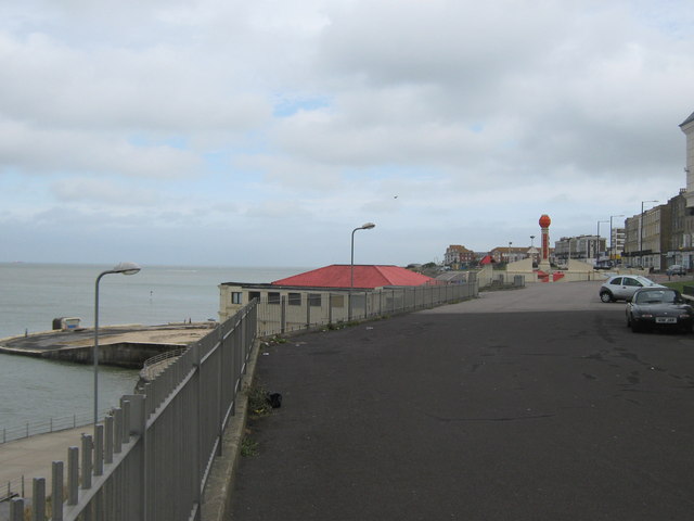
Image: © David Anstiss Taken: 11 Sep 2010
The long distance cycle path leads along the Upper Promenade between the Winter Gardens and the Lido (in the background). The Saxon Shore Way (long distance path) follows the lower promenade beside the sea.
Images are licensed for reuse under creativecommons.org/licenses/by-sa/2.0
Image Location
Latitude
51.392511
Longitude
1.38834