Part of Offa's Dyke Path at Rock Farm above Brockweir
Introduction
The photograph on this page of Part of Offa's Dyke Path at Rock Farm above Brockweir by Jeremy Bolwell as part of the Geograph project.
The Geograph project started in 2005 with the aim of publishing, organising and preserving representative images for every square kilometre of Great Britain, Ireland and the Isle of Man.

There are currently over 7.5m images from over 14,400 individuals and you can help contribute to the project by visiting https://www.geograph.org.uk
Part of Offa's Dyke Path at Rock Farm above Brockweir
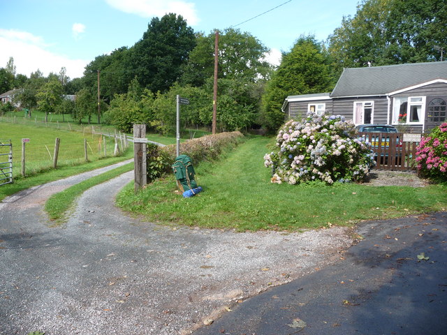
Image: © Jeremy Bolwell Taken: 7 Sep 2010
I rested here for lunch on my final day on ODP. My rucksack, a Karrimor Tote-em-Classique of early '80's vintage had hiked on ODP with me before, when as a lad of 17 or so myself and a school friend set off south-to-north from Chepstow to walk the route. We chucked in the towel at Monmouth after two days walking, having camped at Brockweir, near the pub. It was nice to lay the ghost of our youthful 'failure' and also a good feeling to resurrect some of the original gear I used nearly 30 years ago (both my one-man tent and rucksack). Both performed a first class job - despite gentle ribbing from today's fraternity of dykers en route.
Images are licensed for reuse under creativecommons.org/licenses/by-sa/2.0
Image Location
Latitude
51.711004
Longitude
-2.660507