Osbaston Road heads for Osbaston Farm
Introduction
The photograph on this page of Osbaston Road heads for Osbaston Farm by Jaggery as part of the Geograph project.
The Geograph project started in 2005 with the aim of publishing, organising and preserving representative images for every square kilometre of Great Britain, Ireland and the Isle of Man.

There are currently over 7.5m images from over 14,400 individuals and you can help contribute to the project by visiting https://www.geograph.org.uk
Osbaston Road heads for Osbaston Farm
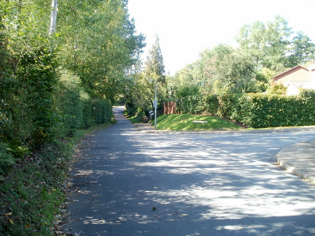
Image: © Jaggery Taken: 12 Sep 2010
Just beyond the right turn for Lancaster Way, http://www.geograph.org.uk/photo/2063706 Osbaston Road approaches a National Speed Limit sign at the SW edge of residential Osbaston. A short way ahead is Osbaston Farm.
Images are licensed for reuse under creativecommons.org/licenses/by-sa/2.0
Image Location
Latitude
51.822382
Longitude
-2.725395