Churchstanton: Churchinford
Introduction
The photograph on this page of Churchstanton: Churchinford by Martin Bodman as part of the Geograph project.
The Geograph project started in 2005 with the aim of publishing, organising and preserving representative images for every square kilometre of Great Britain, Ireland and the Isle of Man.

There are currently over 7.5m images from over 14,400 individuals and you can help contribute to the project by visiting https://www.geograph.org.uk
Churchstanton: Churchinford
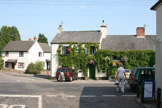
Image: © Martin Bodman Taken: 21 Jul 2006
The York Inn: where the Honiton Road, Royston Road, Red Lane and Moor Lane meet. On the extreme right is the local shop and Post Office. Looking east
Images are licensed for reuse under creativecommons.org/licenses/by-sa/2.0
Image Location
Latitude
50.90739
Longitude
-3.121121