View down Wellington Brae
Introduction
The photograph on this page of View down Wellington Brae by Ewen Rennie as part of the Geograph project.
The Geograph project started in 2005 with the aim of publishing, organising and preserving representative images for every square kilometre of Great Britain, Ireland and the Isle of Man.

There are currently over 7.5m images from over 14,400 individuals and you can help contribute to the project by visiting https://www.geograph.org.uk
View down Wellington Brae
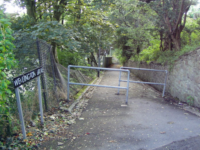
Image: © Ewen Rennie Taken: 12 Sep 2010
Path (former road?) connecting Wellington Suspension Bridge with Prospect Terrace
Images are licensed for reuse under creativecommons.org/licenses/by-sa/2.0
Image Location
Latitude
57.135061
Longitude
-2.098447