Stornoway Airport Perimeter
Introduction
The photograph on this page of Stornoway Airport Perimeter by Donald Lawson as part of the Geograph project.
The Geograph project started in 2005 with the aim of publishing, organising and preserving representative images for every square kilometre of Great Britain, Ireland and the Isle of Man.

There are currently over 7.5m images from over 14,400 individuals and you can help contribute to the project by visiting https://www.geograph.org.uk
Stornoway Airport Perimeter
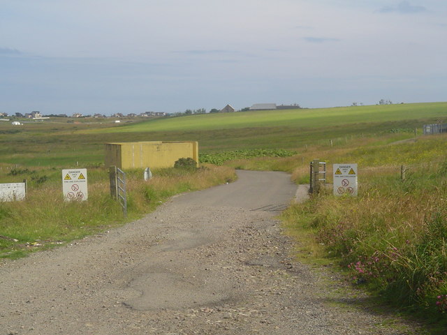
Image: © Donald Lawson Taken: 21 Jul 2006
This gate marks the boundary of airport land. Local farmers are permitted access to it but the area is frequently used by the airport fire crews for live fire practice (note the warning signs!)
Images are licensed for reuse under creativecommons.org/licenses/by-sa/2.0
Image Location


Leaflet Map data © OpenStreetMap
Latitude
58.217186
Longitude
-6.342073