A path through Mousehold Heath
Introduction
The photograph on this page of A path through Mousehold Heath by Evelyn Simak as part of the Geograph project.
The Geograph project started in 2005 with the aim of publishing, organising and preserving representative images for every square kilometre of Great Britain, Ireland and the Isle of Man.

There are currently over 7.5m images from over 14,400 individuals and you can help contribute to the project by visiting https://www.geograph.org.uk
A path through Mousehold Heath
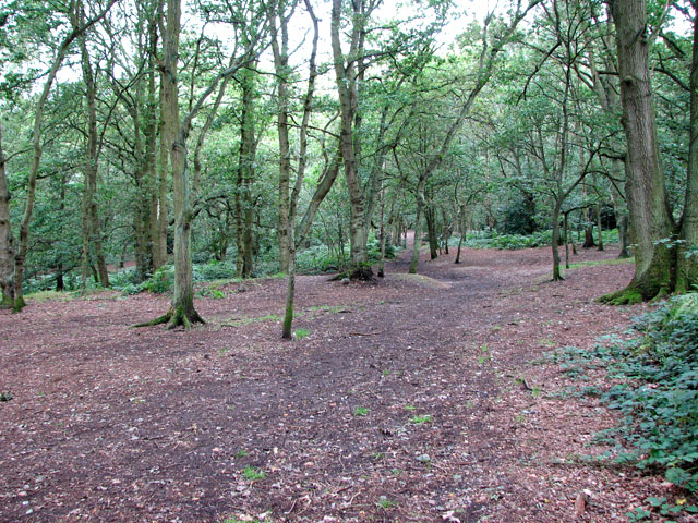
Image: © Evelyn Simak Taken: 11 Sep 2010
Mousehold heath once formed part of the great expanse of heathland that extended from the north-eastern bank of the River Wensum towards the villages of Salhouse and Rackheath. Originally the heath was maintained by grazing but without maintenance the trees have grown tall and the area is now a woodland much frequented by walkers. The overgrown workings of 19th century gravel, flint, lime and marl extraction can still be seen. Mousehold Heath covers nearly 200 acres (81 ha) and is much appreciated by Norwich people as a public open space.
Images are licensed for reuse under creativecommons.org/licenses/by-sa/2.0
Image Location
Latitude
52.645322
Longitude
1.319577