St Mary's Church, West Gomeldon
Introduction
The photograph on this page of St Mary's Church, West Gomeldon by Maigheach-gheal as part of the Geograph project.
The Geograph project started in 2005 with the aim of publishing, organising and preserving representative images for every square kilometre of Great Britain, Ireland and the Isle of Man.

There are currently over 7.5m images from over 14,400 individuals and you can help contribute to the project by visiting https://www.geograph.org.uk
St Mary's Church, West Gomeldon
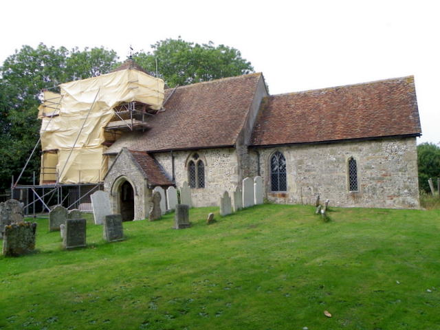
Image: © Maigheach-gheal Taken: 4 Sep 2010
The church tower is of Norman design and is currently undergoing restoration. There is an Ordnance Survey bench mark on the south side of the tower.
Images are licensed for reuse under creativecommons.org/licenses/by-sa/2.0
Image Location


Leaflet Map data © OpenStreetMap
Latitude
51.117158
Longitude
-1.743645