Part of Offa's Dyke Path between Hergest Ridge and Disgwylfa Hill
Introduction
The photograph on this page of Part of Offa's Dyke Path between Hergest Ridge and Disgwylfa Hill by Jeremy Bolwell as part of the Geograph project.
The Geograph project started in 2005 with the aim of publishing, organising and preserving representative images for every square kilometre of Great Britain, Ireland and the Isle of Man.

There are currently over 7.5m images from over 14,400 individuals and you can help contribute to the project by visiting https://www.geograph.org.uk
Part of Offa's Dyke Path between Hergest Ridge and Disgwylfa Hill
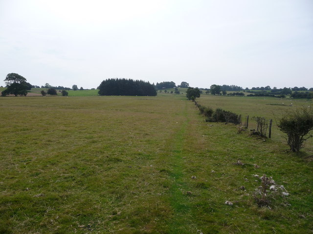
Image: © Jeremy Bolwell Taken: 4 Sep 2010
The well trodden long-distance footpath sees a good number of footfalls each day and after a few days on the dyke your eye can distinguish what constitutes the ODP and makes it distinctive from a sheepwalk, local footpath etc.
Images are licensed for reuse under creativecommons.org/licenses/by-sa/2.0
Image Location
Latitude
52.170889
Longitude
-3.1241