Looking down St John's Road
Introduction
The photograph on this page of Looking down St John's Road by Jonathan Kington as part of the Geograph project.
The Geograph project started in 2005 with the aim of publishing, organising and preserving representative images for every square kilometre of Great Britain, Ireland and the Isle of Man.

There are currently over 7.5m images from over 14,400 individuals and you can help contribute to the project by visiting https://www.geograph.org.uk
Looking down St John's Road
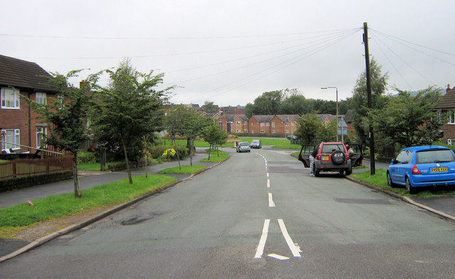
Image: © Jonathan Kington Taken: 10 Sep 2010
Looking down St John's Road from its junction with Lawton Street, Cornfield Road and Kingsfield Road. Part of Image (ccl Neil Lewin) can be seen at the bottom.
Images are licensed for reuse under creativecommons.org/licenses/by-sa/2.0
Image Location
Latitude
53.112135
Longitude
-2.168921