Allotments in Rye
Introduction
The photograph on this page of Allotments in Rye by Richard Law as part of the Geograph project.
The Geograph project started in 2005 with the aim of publishing, organising and preserving representative images for every square kilometre of Great Britain, Ireland and the Isle of Man.

There are currently over 7.5m images from over 14,400 individuals and you can help contribute to the project by visiting https://www.geograph.org.uk
Allotments in Rye
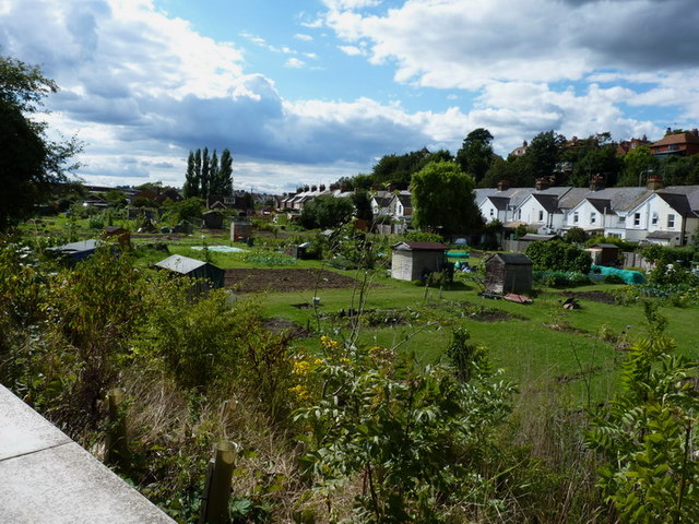
Image: © Richard Law Taken: 28 Aug 2010
Allotments in the lower part of Rye; an area that once was sea before becoming silted up.
Images are licensed for reuse under creativecommons.org/licenses/by-sa/2.0
Image Location
Latitude
50.948547
Longitude
0.735241