The junction of Parkhill Drive and Lower Eastern Green Lane
Introduction
The photograph on this page of The junction of Parkhill Drive and Lower Eastern Green Lane by John Brightley as part of the Geograph project.
The Geograph project started in 2005 with the aim of publishing, organising and preserving representative images for every square kilometre of Great Britain, Ireland and the Isle of Man.

There are currently over 7.5m images from over 14,400 individuals and you can help contribute to the project by visiting https://www.geograph.org.uk
The junction of Parkhill Drive and Lower Eastern Green Lane
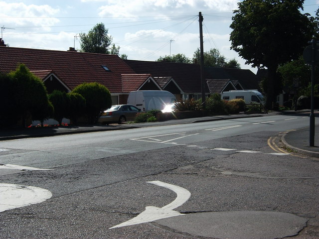
Image: © John Brightley Taken: 31 Aug 2010
This shows the mini roundabout junction but also the poor state of the road surface - all Coventry's roads have been poorly maintained for many years and they are only now being improved.
Images are licensed for reuse under creativecommons.org/licenses/by-sa/2.0
Image Location
Latitude
52.41634
Longitude
-1.5771