Pond in Weatherhill
Introduction
The photograph on this page of Pond in Weatherhill by Roger W Haworth as part of the Geograph project.
The Geograph project started in 2005 with the aim of publishing, organising and preserving representative images for every square kilometre of Great Britain, Ireland and the Isle of Man.

There are currently over 7.5m images from over 14,400 individuals and you can help contribute to the project by visiting https://www.geograph.org.uk
Pond in Weatherhill
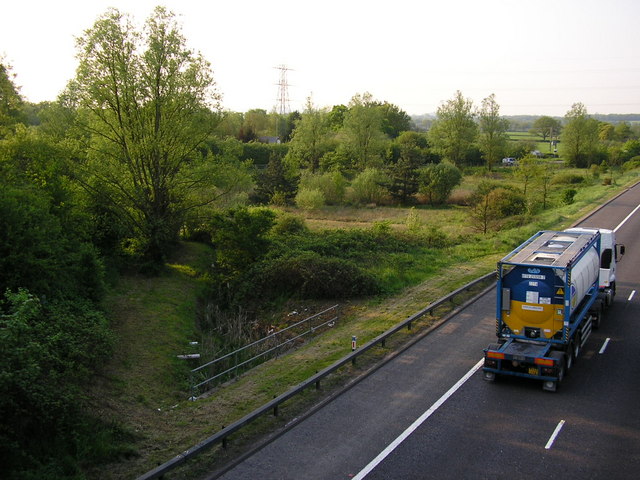
Image: © Roger W Haworth Taken: 10 May 2006
at least the map shows a pond between Hathersham Lane (in the background) and the M23 Motorway. Taken from the bridge in Weatherhill Road
Images are licensed for reuse under creativecommons.org/licenses/by-sa/2.0
Image Location


Leaflet Map data © OpenStreetMap
Latitude
51.174864
Longitude
-0.128837