Martingale Mews
Introduction
The photograph on this page of Martingale Mews by Andrew Tatlow as part of the Geograph project.
The Geograph project started in 2005 with the aim of publishing, organising and preserving representative images for every square kilometre of Great Britain, Ireland and the Isle of Man.

There are currently over 7.5m images from over 14,400 individuals and you can help contribute to the project by visiting https://www.geograph.org.uk
Martingale Mews
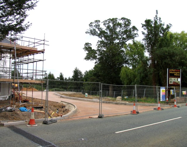
Image: © Andrew Tatlow Taken: 5 Sep 2010
The site of the former Barleythorpe Stud is now a large building site.
Images are licensed for reuse under creativecommons.org/licenses/by-sa/2.0
Image Location
Latitude
52.679069
Longitude
-0.744771