Farmland, Middleton
Introduction
The photograph on this page of Farmland, Middleton by Andrew Smith as part of the Geograph project.
The Geograph project started in 2005 with the aim of publishing, organising and preserving representative images for every square kilometre of Great Britain, Ireland and the Isle of Man.

There are currently over 7.5m images from over 14,400 individuals and you can help contribute to the project by visiting https://www.geograph.org.uk
Farmland, Middleton
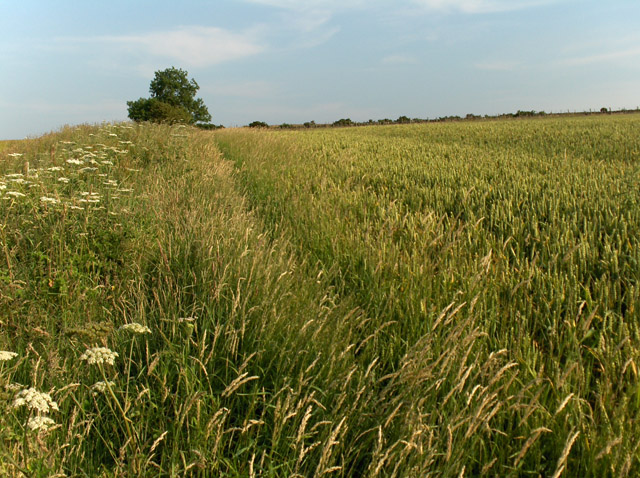
Image: © Andrew Smith Taken: 19 Jul 2006
The field boundary separates wheat from barley. Higher up the hillside are pastures.
Images are licensed for reuse under creativecommons.org/licenses/by-sa/2.0
Image Location
Latitude
56.304129
Longitude
-3.819775