Portskewett : Caldicot Road approaches crossroads
Introduction
The photograph on this page of Portskewett : Caldicot Road approaches crossroads by Jaggery as part of the Geograph project.
The Geograph project started in 2005 with the aim of publishing, organising and preserving representative images for every square kilometre of Great Britain, Ireland and the Isle of Man.

There are currently over 7.5m images from over 14,400 individuals and you can help contribute to the project by visiting https://www.geograph.org.uk
Portskewett : Caldicot Road approaches crossroads
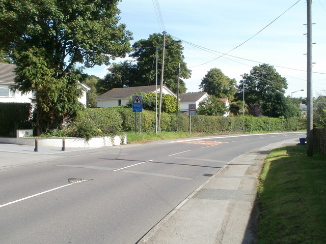
Image: © Jaggery Taken: 8 Sep 2010
A white-on-pink bilingual SLOW/ARAF (Welsh) sign on the road surface is alongside a sign advising of crossroads ahead - Crick Road from the north and Manor Way from the south. Below the sign, a white-on-blue sign advises of a 7.5 tonne limit on Crick Road. Behind the crossroads sign is a school sign. Archbishop Rowan Williams Church in Wales Voluntary Aided Primary School is nearby.
Images are licensed for reuse under creativecommons.org/licenses/by-sa/2.0
Image Location
Latitude
51.590384
Longitude
-2.72891